
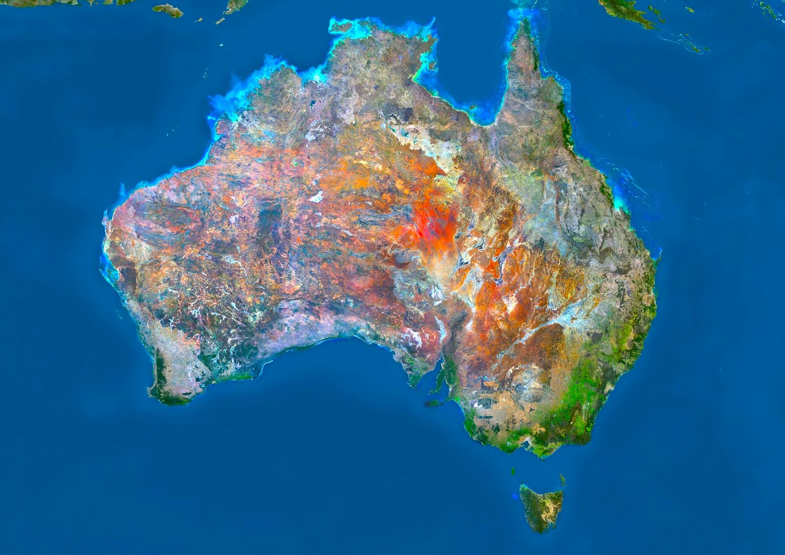
Have you ever checked a digital map and wondered how satellites pinpoint a location? For most of the world, landmasses stay relatively fixed. Australia completely breaks this rule. The continent sits on a tectonic plate moving at a speed that forces scientists to repeatedly rewrite global coordinates. If your navigation system relies on outdated geospatial data, a precise location in Sydney or Perth could be off by more than a meter. The landmass is literally sprinting northward, creating a highly unusual geological challenge for global satellite navigation systems worldwide.
The Fastest Continental Shift on Earth
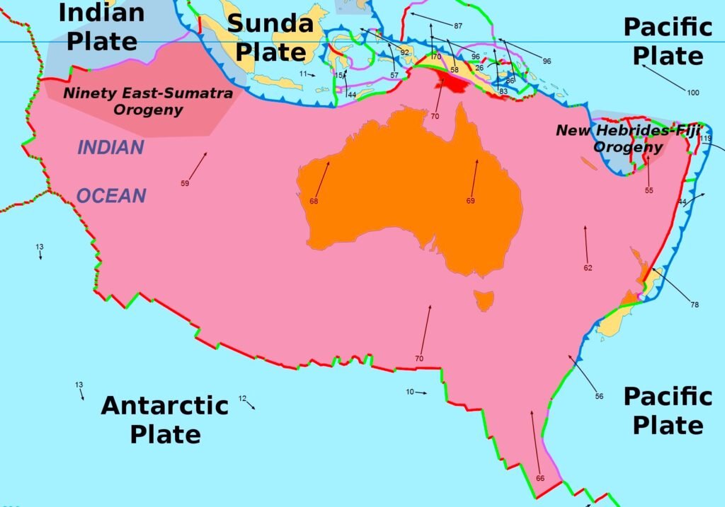
The Australian plate travels northward at approximately 6.9 centimeters, or 2.7 inches, every single year. It also features a slight clockwise rotation as it drifts. While a few centimeters might sound insignificant, this is a high-speed sprint in geological terms. Over the past few decades, this rapid drift has accumulated enough distance to misalign standard coordinate data. Because modern navigation tools require pinpoint accuracy, Australia has had to officially adjust its local map coordinate systems multiple times to catch up with its actual physical location on the globe.
A Massive Tectonic Breakup
To understand this velocity, we have to look at the continent’s origins. Australia was once locked inside the ancient supercontinent of Gondwana. Around 100 million years ago, India broke away and surged north. Australia and Antarctica began their own rifting process roughly 96 million years ago, with total separation occurring around 60 million years ago. Later, the Australian plate fused with the Indian plate beneath the Indian Ocean. Recent satellite and earthquake data indicate that these two landmasses are separating once again. They have operated as completely distinct plates for at least the last three million years.
Collisions Along the Plate Boundaries
This northward sprint causes violent physical interactions at the plate borders. The Australian landmass forcefully collides with the Sunda plate near Indonesia, with a convergence velocity reaching 7.3 centimeters per year at the Java Trench. To the east, the boundary with the Pacific plate is incredibly complex. Near eastern Papua New Guinea, the plates converge at roughly 11 centimeters per year, triggering rapid microplate formations. Further south, the convergence rate falls to 4 centimeters per year in the central section of the Vanuatu subduction zone before rising again.
Updating Coordinates for Modern Navigation
Meanwhile, the southern border shares a divergent boundary with the Antarctic plate. Data from the Southeast Indian Ridge shows a consistent spreading rate of up to 7 centimeters per year. Because the Australian plate interacts dynamically with the Eurasian, Pacific, and Antarctic plates at such extremely high velocities, the physical continent literally outpaces the digital maps drawn to represent it.