For centuries, the famous stone statues dotting the coastline of Easter Island in the southeastern Pacific have puzzled archaeologists worldwide. A team of researchers has finally announced the solution to one of the biggest questions surrounding these mysterious figures: why the islanders built them along the ocean edge. The answer does not involve complex rituals or hidden warfare, but rather a basic human necessity hidden right beneath the volcanic soil.
A Centuries-Old Archaeological Puzzle
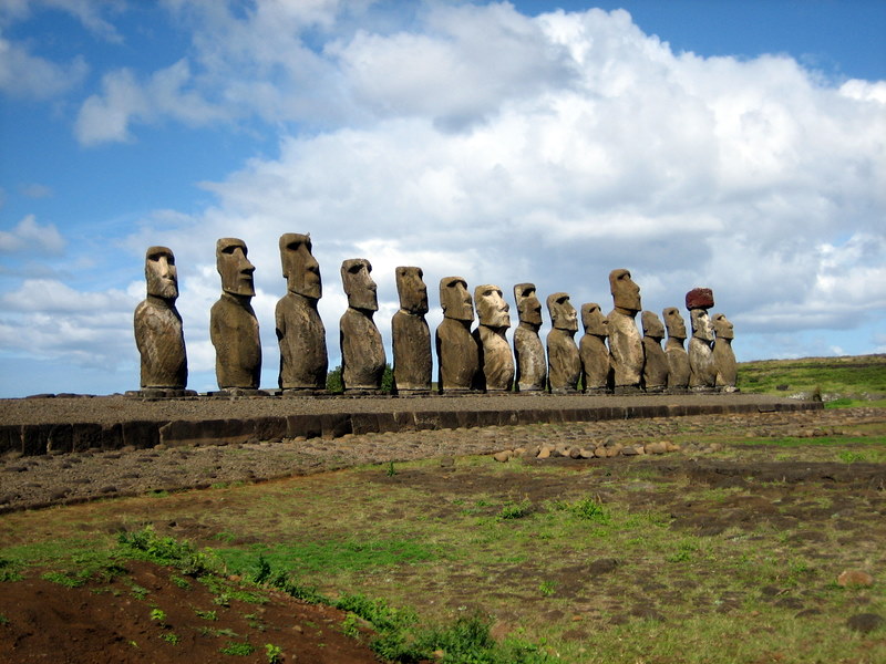
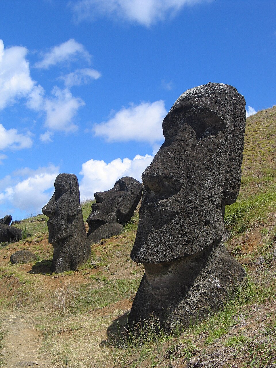
Easter Island, also known as Rapa Nui, contains roughly 900 massive stone statues. The great majority of these figures sit directly along the coast, a structural layout that baffled generations of experts. Recently, a research team from Binghamton University investigated the island’s geography to determine how the ancient population survived.
Their findings, published in the Hydrogeology Journal, revealed a direct connection between the placement of the stone structures and the island’s primary source of drinkable water.
Eliminating Limited Water Sources
To uncover how the inhabitants obtained potable water, the anthropologists first evaluated and ruled out the island’s other limited freshwater sources. They found that Rapa Nui features no flowing streams or rivers. It contains only two lakes, which are both highly difficult to access, and a single natural spring that is frequently reduced to a wetland bog.
The researchers also noted the presence of taheta, which are small carved-out stone cisterns used to collect rainfall. However, these catchments only collected small amounts of water.
The researchers believe that if these cisterns were being used as a primary source, they would have to be able to hold much larger volumes. The island receives roughly 49 inches (124.46 centimeters) of rain per year. Combined with a high evaporation rate, the team concluded that for 317 days of the year, these cisterns remained dry and completely unviable as a source.
The Secret of Coastal Groundwater Discharge
Because surface water was insufficient, the research team concluded that the islanders depended entirely on underground water. The highly porous volcanic soil on Rapa Nui absorbs rainfall immediately, preventing surface streams from forming. Instead, the water flows downhill beneath the surface.
This groundwater eventually exits the subterranean rock directly at the coastline where the rock meets the ocean. During low tide, freshwater flows directly into the sea, allowing people to collect and drink it before it mixes with salt water.
Mapping the Figures to Drinking Water
According to Carl Lipo, a Binghamton University anthropology professor, the locations of the coastal structures match these freshwater access points perfectly. The builders positioned their carvings precisely where drinkable water emerged from the ground. Moving forward, the team of experts plans to study how the locations of these freshwater points influenced the specific methods and engineering means used to build the coastal statues.